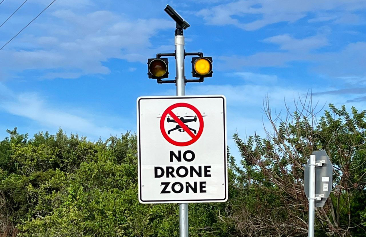
On January 13th, DJI announced updates to its geofencing system (GEO). With this update, DJI's Fly and Pilot flight apps will now display official Federal Aviation Administration (FAA) data, replacing DJI’s previous geofencing datasets. Zones previously identified as Restricted Zones (or No-Fly Zones) will now appear as Enhanced Warning Zones, consistent with FAA-designated areas. In these zones, operators will receive in-app alerts when flying near FAA-controlled airspace, ensuring they remain informed while maintaining control over their operations. This approach aligns with regulatory principles that place final responsibility on the drone operator.
It's a significant change. I wasn't going to comment on this development but a few people poked and prodded me enough that I had to look on LinkedIn to see what was happening. And I have a few thoughts.
First and foremost, take a deep breath. This software update does not change how we conduct the airspace awareness and protection (counter-UAS) missions. Whether you're talking about detection and/or defeat, both will always be a multi-sensor approach. There's no single solution that is going to give you everything you need. It will always be, as some have phrased it, "a system of systems."
Additionally, the Geo Zones NEVER actually prevented drones from taking off from within or flying into otherwise restricted airspace. The DJI Geo Zone feature just required the drone pilot to go through a few extra steps to get a code to 'unlock' the drone to fly in the airspace—or there were some software or hardware hacks that could accomplish the same thing. As I've mentioned to many people, TFRs or flight restrictions aren't "Hunger Games" force field bubbles. After all, it's not as if DJI is placing a physical barrier in these spaces.
Also, remember that DJI implemented this voluntary safety feature many years ago. It was a business decision, and at the time, a very good one. Drones that can easily fly where they aren’t supposed to fly or are causing hazards to crewed aircraft in the airspace is bad for business. This self-preservation move is one of many sound decisions that have allowed the company to grow into what it is today. I'm unaware of any other drone manufacturer that went to the same lengths as DJI in this functionality.
Furthermore, DJI is right. The drone pilot is responsible for checking for airspace restrictions before flight. The $20,000 question is: "How do we create a more educated and compliant drone pilot population?"
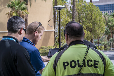
As a former Counter-UAS team member, I have to say, I loved this DJI safety feature. I can recall dozens and dozens of times when we'd detect DJI drones in the restricted airspace we were protecting. The drone and/or the controller were being turned off and on, and it was clear that the drone pilot was trying to figure out why they could not start the motors. They didn't know or maybe didn't care that they were attempting to take off and fly the drone in restricted airspace. That delay gave us the opportunity to send a law enforcement team to find and locate the pilot and educate them BEFORE they were able to launch. It's a great example of what risk-free "mitigation" can look like. That’s especially notable as the use of “drone defeat” technologies increase the risk to the national airspace, the communications spectrum, and the critical infrastructure and people we are trying to protect.
With the removal of this voluntary feature, we will most certainly see an increase in drone incidents and flights in restricted airspace. DJI just removed a couple of steps to make it easier. In their post, DJI also mentions that Remote ID solutions make detection and enforcement of drones much easier. I disagree with this statement from DJI. Due to the technical limitations of some Remote ID technologies, and the likely low compliance rate with the rule for older drone platforms, public safety and critical infrastructure should not rely on Remote ID sensors as their sole method of detecting drones in the nearby airspace.
Last but not least, the FAA wasn't sending DJI supersecret TFR files to China for the Geo Zones. The information is publicly available—Google "FAA UAS Data Delivery System." As the FAA describes it, "This site is designed to distribute data related to Unmanned Aircraft Systems (UAS) to both internal and external stakeholders of the FAA."


Comments