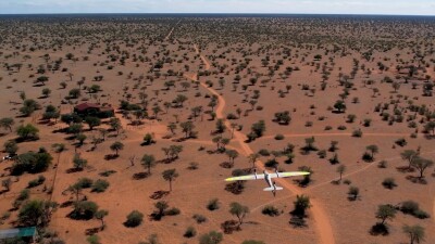
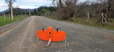
The successor of Quantum Systems’ Trinity F90+ drone introduces novel solutions to meet high demands. It also integrates the latest sensors to enable new use cases, such as performing hail damage detection at scale.
Introducing the Trinity Pro unmanned aerial mapping system
Quantum Systems specializes in the development, design, and production of advanced multi-sensor unmanned aerial systems (UAS) that collect aerial intelligence for the professional user. Its electric vertical take-off and landing (eVTOL) systems are used in industries such as mapping, surveying, forestry, construction, and more. In 2017, the company launched the Trinity F90+ UAS which was designed to streamline the complex process of collecting aerial data. Since then, it has become a highly popular mapping drone, offering a range of high-precision sensors, PPK capabilities, and a command & control range of up to 7.5km.
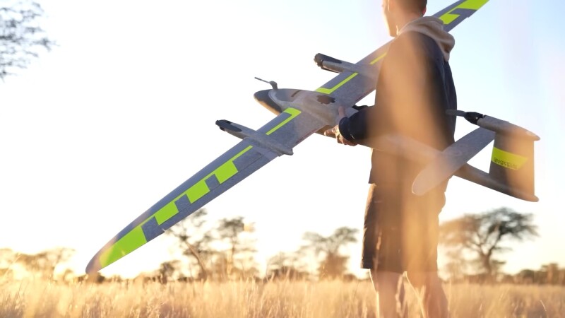
 In May 2023, the successor of that drone was released, named the Trinity Pro. This new drone is built on the legacy of the Trinity F90+, integrating technical advancements and focusing on hardware and software synthesis to meet current customer demands. The system has a maximum take-off weight of 5.75kg (12.68 lbs.), a maximum flight altitude of 5,500 meters (18,045 ft), and a wingspan of 2.394m (7.85 ft). Key features include an extended flight time (up to 90 minutes) and large-area coverage (up to 700 hectares/1,730 acres in a single flight).
What makes the Trinity Pro a reliable and easy-to-use drone mapping solution
In addition to adapting the latest sensor and software technology, Quantum Systems invested in making the drone safer and more reliable. This translates to multiple new features, including high wind tolerances up to 18 m/s, and advanced terrain awareness. The drone now has an integrated downfacing LiDAR scanner for ground avoidance and landing control, adding reliability when returning it to the ground.
A new feature integrated with the Trinity Pro is the Quantum-Skynode autopilot, an advanced flight control system to perform complex missions with higher efficiency and safety. This system incorporates an onboard Linux mission computer for increased data processing capabilities, as well as improved connectivity options between the drone and ground control stations, while automatic self-diagnostics as a part of comprehensive system monitoring provide advanced safety features.
Users of the Trinity Pro can easily swap sensors with a quick-lock mechanism, allowing for flexibility across different surveying applications. The drone supports a wide range of sensors, including LiDAR, RGB, oblique, and multispectral. In October 2023, integration of the Sony ILX-LR1 61-megapixel camera into the Trinity Pro mapping drone was announced, which meant a transition from 42-megapixel cameras to 61-megapixel standards, enabling direct remote control and direct georeferencing.
For even more safety, the Trinity Pro includes an enhanced terrain-following system. The basis for this software feature is accurate 3D representations of the terrain in the form of DEM (Digital Elevation Models). This way, the drone software can understand the topography of the environment and adjust the drone’s height according to height variations and at all times maintain an optimal distance from the ground for uniform data quality and resolution. During the flight, the software communicates with the Quantum-Skynode autopilot if any corrections in the planned terrain-following path are required, for example when unexpected obstacles appear.
Hail damage detection with drones
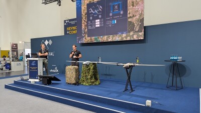
High-resolution imagery captured with the Trinity Pro and the Phase One P5 high-resolution camera is currently redefining the roofing and insurance industries. In this online webinar, educational consultancy Dronestitute explains how it provides precise, efficient, and predictive insights into roofing needs, and transforms traditional practices with state-of-the-art drone inspections and AI-driven analysis. The Phase One P5 is a survey-grade instrument offering a 128-megapixel resolution, delivering unprecedented image detail and resolution when performing hail damage detection on shingles. Additionally, the use of drones is more scalable, faster, and safer than collecting data using crewed inspections.


Comments