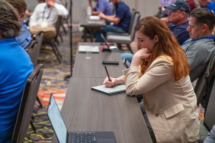
Commercial UAV Expo 2024 held two Exhibitor Showcase Presentations. These events gave Expo attendees the chance to hear from representatives from 24 companies and organizations and learn about new hardware, software enhancements, tools for improving data collection and safety, business services, and much more.
Below is the third and final installment of our recap of the Exhibitor Showcase Presentations.
Videoship
With one of the more unique offerings of the day, Larry Klein, Videoship’s Chief Marketing Officer, presented for the video streaming company. Although the company has been around for 20 years now, they are just starting to enter the UAV market with their BlackBelt solution. He outlined many of the technical details of the solution, which allows for clean, live video streaming using just cell phones, a drone if you have one, and leveraging 5G capabilities. Klein, a longtime veteran of CBS News, outlined why so many broadcast networks and other major television brands have trusted Videoship, and expressed excitement for the variety of use cases the technology could find in the commercial UAV realm.
LP360
LP360 is the software side of the GeoCue group, and Vice President of Customer Success Darrick Wagg presented about the lidar processing solution. He told the audience about the benefits of using a solution like LP360, which is sensor agnostic, while also discussing some of the software’s newest features.
GeoCue
Following their live mock accident demonstration at the Outdoor Flying Demo earlier on Tuesday, GeoCue came back with a presentation for those in attendance for the Exhibitor Showcases. In this one, a sales manager with the company, talked a bit about the history of the company before discussing the hardware they provide. That includes, of course, UAV lidar scanning technology, as well as their new TrueView Go. The handheld mobile scanning system, as Dillard explains, works well on its own and can provide tremendous value when combined with UAV scanning.
Red Cat
Brendan Stewart, Vice President of Regulatory Affairs with Red Cat, gave an impassioned presentation about the need for public policy and to have a voice in decisions made at the government level. He discussed some important public projects from the past like the interstate highway system and our space program, and asked the audience to wonder what would happen if these weren’t funded. That was used as a jumping off point to hammer home the importance of policy and “passive funding” to really drive innovation. Red Cat’s goal is to do just that, helping to amplify the voice of companies in the industry within policy decisions.
3Dsurvey
Covering the software side of drone-based photogrammetry surveys, 3Dsurvey’s Vid Peterman presented about the company’s different features. Using video demonstrations, he outlined some of the different ways surveyors can use this software, including its ability to create accurate building outlines to be used in CAD using their X-Ray vision, and how on-the-ground videos can be used to create 3D models using videogrammetry. The presentation included a whole list of features the software offers, including the two mentioned above along with contour lines, volume calculation, lidar data processing, and more.


Comments