

German drone provider Wingcopter is known for its cargo drones. Recently, the company announced it will sell long-range BVLOS lidar surveying solutions. The company’s flagship product, the Wingcopter 198, will be equipped with superior laser scanning and camera systems, enabling the efficient and rapid collection of high-quality data.
This announcement generated a lot of excitement and follows the current industry development of unmanned drones taking over mapping and surveying capabilities from small helicopters. The move to unmanned drones shows new technology and hardware can do what manned helicopters are doing within line-of-sight, more smartly and efficiently.
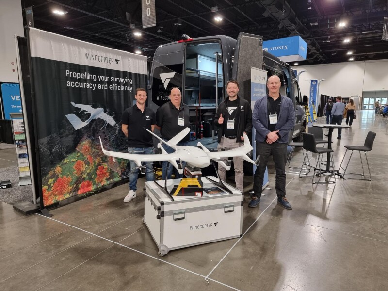
Wingcopter 198 history
In 2020, Wingcopter decided to build a drone with extensive redundancy features for reliability and more long-term sustainability. This unmanned aerial vehicle (UAV) is designed with backup systems to ensure continued operation in case of a component failure. This change of direction meant that Wingcopter became an aviation company after being a drone startup. An FAA certification required a focus on a single application, namely delivery.
 Wingcopter released the Wingcopter 198 in April 2021. It is an all-electric, vertical-take-off-and-landing (eVTOL) fixed-wing drone with a very high payload capacity (up to 5 kgs), long-range (75 kms), and is very robust in different weather conditions. Its key differentiator is its reliability, with a proven product lifetime of more than 1,000 flight hours. This reliability enables the company to enter the lidar market sustainably.
The drone is made to last very long. The control station software checks for aging components and informs the operator in case there’s something wrong through automated pre-flight checks, sensor checks, and a feedback system that reads out data from different system components. Finally, the drone can be prevented from takeoff in case of a malfunction.
Integrating a lidar sensor and FAA-type certification
With the new lidar-based drone, Wingcopter allows customers to survey up to 37 miles (60 km) of linear infrastructure in one mission, carrying a 10 lbs. (4.5 kg) sensor system. It will allow collecting up to 570 pts/m2 with a sensor accuracy of 10 mm and a precision of 5 mm and enables scanning up to 2,560 acres (10.3 square kilometers) in a single 42-minute BVLOS mission.
At the same time as the company is ready to engage in lidar activities, Wingcopter has frozen the Wingcopter 198 in the configuration that is currently undergoing FAA- type certification in the United States. After reaching maturity, the drone is in an active phase of durability and reliability testing for the FAA and other aviation authorities.
Wingcopter’s lidar announcement was made in the same week as Geo Week in Denver, where the Wingcopter 198 was presented together with Riegl and YellowScan sensors. While Wingcopter’s press release highlighted the specs of the Riegl VUX-160 to show what is achievable with a high-end sensor, no partnership announcement has been made for a specific sensor yet. Instead, customers interested in the solution are invited to engage with Wingcopter on their preferred solution.
Using drones instead of manned helicopters
During the event, the Wingcopter team noticed there’s a strong interest in using drones for lidar surveying for a variety of reasons. Cost is a factor, as an electric drone is much cheaper to acquire and operate than a helicopter. For pilots, it’s a lot safer especially in the case of powerline inspections as no pilot is flying over powerlines. Drones are a more environmentally friendly option, offering a cleaner, quieter, and less intrusive alternative than helicopters.
One driver for the interest in drones for lidar-based surveying is that there’s now a trust that drones can be operated safely beyond visual line-of-sight. Before rolling out the solution on a large scale, Wingcopter wants to prove this fact in different scenarios with customers. One such customer is Synerjet, Wingcopter’s authorized local partner in Brazil. Both companies are developing custom applications together, adding more functionality to the aircraft, and meeting requirements from asset industries including inspections, vegetation monitoring, and mapping.


Comments