Subscribe
The information you submit will be stored and used to communicate with you about your interest in Commercial UAV News. To understand more about how we use and store information, please refer to our privacy policy.

Choosing the Right LiDAR Tools: GeoCue’s Aerial, Mobile, and Handheld Solutions
On-demand Webinar | Free
Are you considering acquiring LiDAR mapping tools but uncertain about the next steps? You're not alone. Selecting the right combination of hardware, software, training, and support is a crucial decision that can impact the success of your projects. At GeoCue, we simplify this process with our advanced TrueView 3D Imaging Sensors (3DIS), providing a clear technical advantage for professionals across various industries.
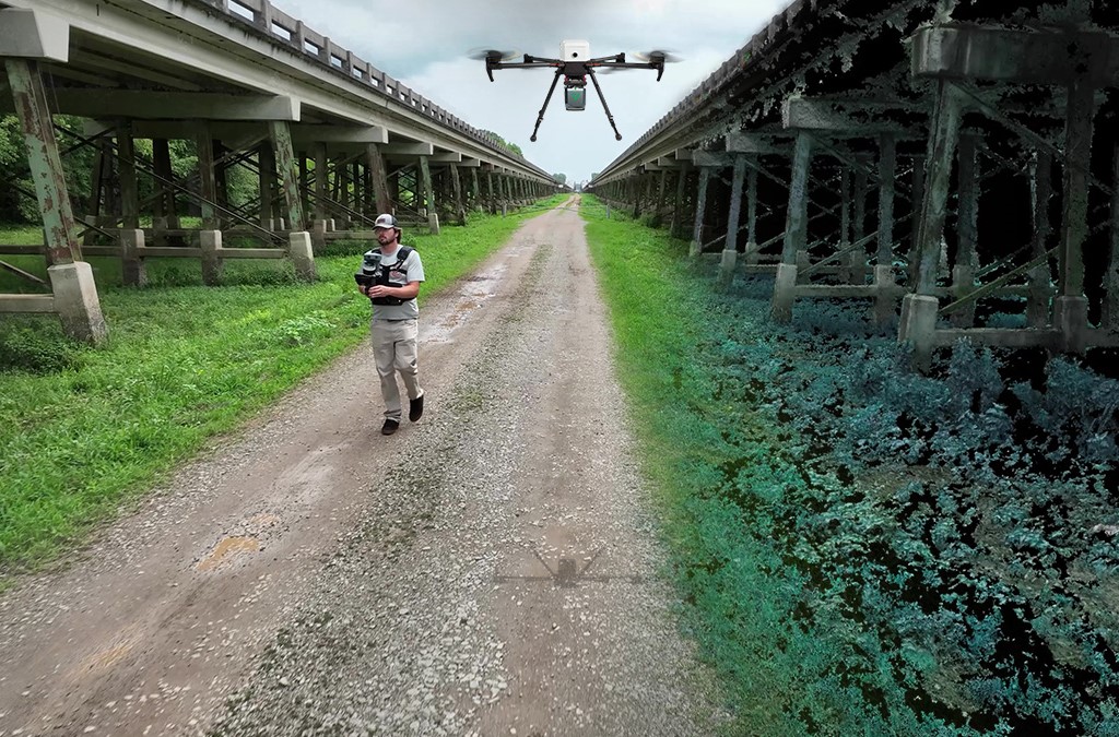
GeoCue offers a comprehensive suite of LiDAR mapping solutions for diverse applications—whether from the air using drone-based LiDAR, on the ground with mobile systems, or indoors/outdoors using handheld scanners like our all-new TrueView GO handheld SLAM sensor. This innovative sensor is designed for quick and efficient data capture, providing high-quality output that seamlessly integrates with our LP360 software for effortless processing.
Each hardware solution is distinguished by the inclusion of our powerful LP360 software, enabling you to transform raw data into detailed point clouds, colorize LiDAR, and perform rigorous quality control on both LiDAR and image data. LP360 allows you to efficiently process, combine, and merge data from multiple sources—whether drone, mobile, or handheld—into a single workflow. Our expert team will guide you in selecting the ideal hardware and software tailored to your unique project needs, ensuring you have the tools and support to achieve your geospatial objectives.
By the end of this session, you'll have a clearer understanding of how to choose the right tools for your specific applications, helping you move forward with confidence in your LiDAR mapping projects.
Speaker
Chad Dillard, Manager of Direct Sales for North America, GeoCue

Chad Dillard is the Manager of Direct Sales for North America at GeoCue, bringing a wealth of experience in land, hydrographic, and aerial surveying. Before joining GeoCue, Chad worked at Fugro, an offshore surveying company specializing in positioning services for the oil and gas industry. He also spent six years as a Land Surveyor at Jones Surveying, conducting boundary and topographic surveys.
Chad holds a Bachelor’s degree in Geography from Jacksonville State University. Since joining GeoCue in 2016 as a UAS Services Technician, he has advanced to leading UAS Operations and, later, into sales management. His technical expertise, combined with his in-depth understanding of LiDAR hardware and software, has made him a trusted resource for GeoCue’s clients.

Register for this webinar by completing the fields below
Thank you!
Thank you for registering for the on-demand webinar: Choosing the Right LiDAR Tools: GeoCue’s Aerial, Mobile, and Handheld Solutions, sponsored by GeoCue.
A confirmation email will be sent shortly with access to the on-demand materials.