


In 2018, the mapping and surveying industry recognized the potential of drone technology, but there were many hurdles to overcome before the technology could be adopted into mapping and surveying workflows. A short overview of its market potential at the time signaled challenges such as lack of standardized technology and workflows, and limited experience within the profession.
Seven years later, things have changed significantly: drone mapping and surveying is a potential niche where many new technology providers, system integrators and manufacturers have emerged. Widespread adoption within the mapping/surveying profession has led to standardized workflows where drones augment or even replace field crews. Off-the-shelf drone mapping systems save surveying companies time and effort, and, in many cases, augment safety, while automating everything from flight planning, takeoff, data capture, landing, and data processing.
UAV mapping technology keeps evolving. Thanks to AI and lighter payloads, new systems become smarter, quicker, and more potent, capturing ever more data in less time. The following provides a brief overview of new opportunities for drone technology in mapping and surveying.
New use cases
Evolving drone technology comes with increased market adoption, which by itself leads to new use cases and applications. For mapping applications, this means for example that drones are now used for site-specific inspections such as wind farms, oil refineries, and remote industrial facilities. Performing inspections on hot surfaces with a drone creates new challenges that are solved with a combination of different technologies, including AI and sensor technology.
SLAM-based mapping is an essential component that enables a drone to intelligently understand and map its environment, so it can navigate through it without crashing or hitting objects. Users and manufacturers are eager to point out such drone inspections can capture spaces that are invisible or inaccessible using aerial mapping or satellite imagery, such as the underside of a bridge.
On a larger scale, there’s the realization of large-area mapping, combined with the absence of a pilot: BVLOS means scalability so that a single drone can cover and map larger areas than ever before, only limited by its power supply, in combination with the payload. It’s no coincidence that satellite corrections to drone mapping data are applied after the flight using Post-Processed Kinematics (PPK), a GPS correction technique which does not require a connection between a flying drone and a base station.
Drone bathymetric lidar mapping
Speaking of payload, more and more dual sensor payloads are being released today. In the past, drone mapping systems would consist of a swappable payload for a second flight to capture the same area with either a lidar or photogrammetric camera. Dual sensor payloads save the user time, without the need to choose between one technology or the other. Many people might argue that lidar is not always a requirement for a mapping project and therefore doesn’t justify its higher cost of entry, but with the availability of more “entry market models” (such as the new TV1 and TV1 Lite sensors from GeoCue), laser scanning might attract a larger audience that will gradually invest in more expensive and more potential sensors.
Drone bathymetric lidar combines mapping water bodies and surrounding (dry) areas, such as coastal areas or riverbeds. Multiple technology vendors have pointed out the largely unexploited opportunities for drone-based bathymetric mapping. Some have already developed drone-based bathymetric sensors, including YellowScan and Riegl. Drones have the advantage of quick deployment, which means they can capture data in a relatively small area, whereas larger areas are more suited for manned aircraft carrying larger, heavier sensors such as the Teledyne Fathom and the Leica CoastalMapper. Drones are now a viable and more safe alternative than using helicopters, as proved by Wingcopter’s recently announced move into long-range lidar surveying using drones.
Automating drone mission planning and execution
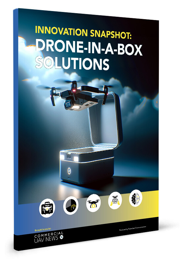
Drone mission planning software facilitated technology adoption in the mapping space: software that adjusts its flight path based on the terrain height while maximizing the potential of both the sensor and drone capabilities means that drone operators have less to worry about. AI lets drones adjust their flight in real time, if necessary, which also makes them less dependent on human intervention. Flight planning software also allows for aligning flights with multiple drones for a single project. Smart drone technology is constantly evolving: a drone-in-a-box system is a self-containing landing box for one or more drones, requiring only a remote operator.
Even though drone technology is maturing, there is still room for improvement: data security and system component optimization are two areas that show there’s a lot of work to be done to guarantee safe drone operations and data transfer. Companies such as wolfSSL and visionair are two examples of companies with experience in areas where new drone users need assistance.


Comments