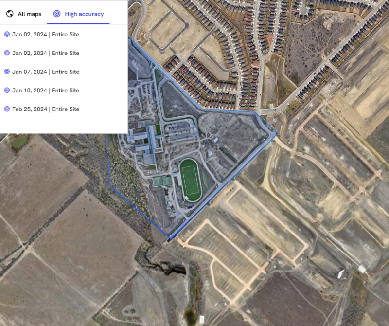
Trimble announced the integration of the Trimble Applanix POSPac CloudⓇ post-processed kinematic (PPK) GNSS positioning service, featuring CenterPointⓇ RTX, with the drone mapping and data collection capabilities of DroneDeploy’s reality capture platform.  With the Trimble cloud positioning service, DroneDeploy customers can expect centimeter-level accuracy and an automated, streamlined workflow when performing reality capture with drones.
To achieve centimeter-level accuracy with its high-accuracy offering, DroneDeploy worked with Trimble and its Applanix POSPac Cloud PPK service using Trimble post-processed CenterPoint RTX. The easy-to-use cloud API enables the post-processing of GNSS kinematic positions based on dual-frequency observables logged by the drone and CenterPoint RTX.
The Trimble RTX family of corrections services offers users real-time and post-processed centimeter-level accuracy almost anywhere in the world. Delivering corrections via satellite or cellular/IP, Trimble RTX removes the need for base stations and simplifies workflows for drone operators. With no onsite setup, a fixed global datum and reduced time in the field, the Applanix POSPac Cloud PPK solution with RTX greatly increases accuracy and workflow efficiency.
“This collaboration with DroneDeploy is leading the trend for PPK-enabled drone data capture without base stations, enabled by Trimble RTX,” said Joe Hutton, director of inertial technology and airborne business at Trimble. “This evolution will expand the possibilities for operators who can now more quickly and more consistently deliver highly accurate maps, enabling drones to be used in precision geospatial applications.”
The enhanced capabilities afforded to DroneDeploy customers using Applanix POSPac Cloud PPK and RTX will elevate the accuracy of 3D reality capture models. This opens new opportunities for drone operators across various industries and applications, including construction, topography and temporal analysis.
“DroneDeploy is delivering high accuracy by default. The collaboration with Trimble allows us to provide centimeter-level accurate data collection as simple as drag and drop,” said Michael Winn, CEO and co-founder of DroneDeploy. “In testing, we've seen large construction, energy and agriculture customers get high-accuracy drone maps simply and reliably to gain insights about the projects and assets they care about, while operating with more confidence.”
DroneDeploy reality capture software with Applanix POSPac Cloud PPK and RTX is currently available via subscription and compatible with most common RTK-enabled drones. For a complete list, visit https://dronedeploy.com/.
To learn more about Trimble Applanix POSPac Cloud PPK service and RTX, visit https://www.applanix.com/products/pospac-cloud.htm.
About DroneDeploy
About Trimble
Source: Trimble


Comments