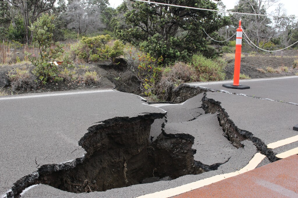
That day everything changed. I remember the feelings that went through my body, everything around me vanished. Those 90 seconds of what began as a normal day in 2017 were probably the longest seconds of my entire life.
The activation of the sirens announced that the constant fear that Mexicans live with had become a reality: we were once again facing an earthquake of great intensity. This had happened 32 years ago, but this time there would be a record on video and in photographs that would never be forgotten. For a minute and 30 seconds, the space and time of an entire country froze. The floor seemed like it had transformed from cement into rubber.
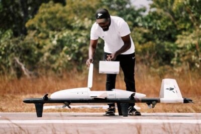
All the scenes of this earthquake were captured by different types of cameras, but thanks to Drones, we were able to see a reality that perhaps would have been impossible to see at any other point in history. Helping us to have a bird’s eye view of this historical event, helping to provide important information to get us through this complicated situation.
Drones in Humanitarian Aid:
Drone operators were able to quickly use their equipment to support different emergency agencies such as vital search and rescue tasks.
The UAVs were used to verify buildings and collapsed areas and were essential to assess critical areas and assist in the search for missing persons. A few years ago it would have been impossible to have these types of tools, but today, thanks to the low cost of the equipment and the democratization of Drone technology, it is possible.
Drones in the Generation of Quick and Reliable Maps:
One of the advantages of Drones is that they allow us to capture hundreds or even thousands of photos in a matter of minutes, which is a big milestone.
From these images, it was possible to create maps that helped Mexican authorities and relief agencies to delimit risk areas and better organize the restoration of security in the country.
Drones as a Source of Information:
Drones also played a fundamental role in the freedom of the press during those difficult times. We witnessed globally what was happening in Mexico thanks to the footage drones and other tools were able to provide.
The images were captured in a day, but they will remain forever engraved in the history of the country.
Here is just a small, very short video after the September 19, 2017, earthquake:
In summary, this day Drones helped in several ways, they were used to:
- Assess the situation after this earthquake occurred.
- Aid agencies in finding missing persons.
- Capture the reality of many parts of the country from the sky.
- Generate maps to delimit risk areas and organize restoration efforts.
- Inform the world about what was going on after the earthquake.
Events like the earthquake in Mexico demonstrate how drones can provide life-saving data enabling countries to recover faster after natural disasters and is why they are an important tool for emergency agencies worldwide.
That day, as an entrepreneur in the world of Drones, I understood that we had a mission with our little flying robots. That we should be present when our machines are needed, and that the help we can give, even if small, can be significant when it comes to an event of this size.


Comments