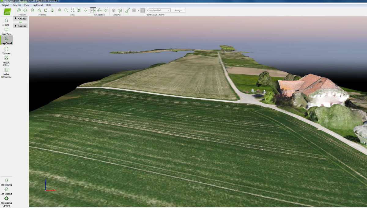
To push the boundaries on corridor mapping, the Swiss company senseFly has created a new solution to work with its eMotion 3 software: senseFly Corridor.
Corridor mapping is a common task for many geospatial professionals and crucial for the effective planning, design and analysis of linear infrastructure, as well as the monitoring of rivers and coastlines. In the past, a senseFly’s eBee drone has been used in Turkey to successfully map a 140 km-long rail corridor, and proved to be a better solution than other mapping techniques. However, corridor mapping, even with a drone, is a complex task. This is why senseFly developed senseFly Corridor - to simplify mapping of linear infrastructure and sites.
“When you compare senseFly Corridor to other solutions, there are three benefits that make the solution stand out,” said senseFly’s Sales Director, Brock Ryder, “Firstly, its vertical camera position allows operators to fly the eBee Plus closer to the ground. This results in higher ground resolution of down to 1.5 cm per pixel. Secondly, the camera’s vertical positioning allows you to map the same route using 30 percent fewer images, which in turn reduces image processing time by 30 percent. Lastly, eMotion 3’s new Corridor Mapping mission block makes linear mapping jobs easier than with any other solution by eliminating the fuss you’d encounter with manual flight line setting. “
The new hardware and software solution combines senseFly’s late 2016 released first professional drone photogrammetry camera, S.O.D.A., which captures RGB imagery at 2.9-cm resolution and features a 1-inch sensor and global shutter; an integration kit where the camera mounts on a portrait position; and a new corridor mapping ‘mission block’ within senseFly’s eMotion 3 ground station software.
senseFly Corridor is now available, and can be purchased together with the S.O.D.A. camera or at a very reasonable price if you already own one.


Comments