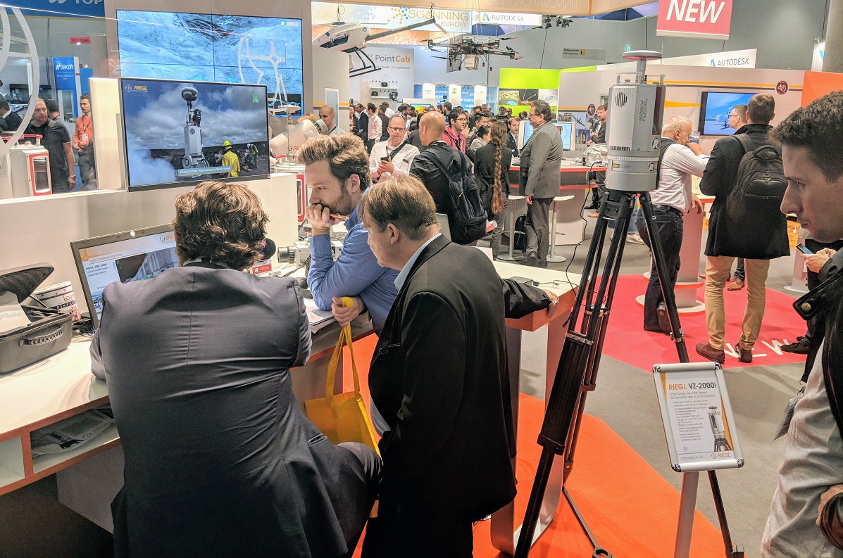
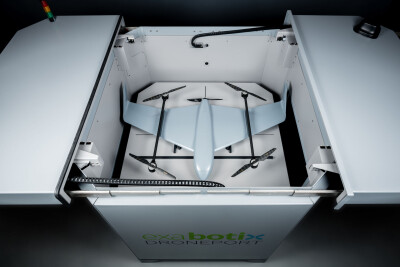
Lots of activity at the @RIEGL booth at @InsideIntergeo, as the company showcases new products and celebrates 40 years pic.twitter.com/pcBhVaoebw
— Jeremiah Karpowicz (@jeremiahkarp) October 16, 2018
At INTERGEO 2018, RIEGL celebrated their 40th anniversary but also used the occasion to highlight a variety of new products and essential updates that underscore their commitment to “innovation in 3D.” However, they also serve as examples of what it means to see pieces of technology that can be utilized in manned or unmanned aircraft, providing users with the kind of flexibility they need for projects that range from coastline mapping to city modeling to surveying for hydraulic engineering.
In the RIEGL ALS segment, the new RIEGL VQ-480 II has a high accuracy ranging based on RIEGL Waveform-LiDAR technology. It also provides very high point densities from moderate heights from fixed-wing aircraft and is well suited for the use in manned but also in unmanned aircraft. The new RIEGL VQ-580 II is similarly well suited for both manned and unmanned aircraft, but also boasts a completely new design that utilizes proven qualities and takes them to a new level. A few of the main applications for the product include corridor mapping, agriculture & forestry as well as city modeling.
The RIEGL ULS segment features a new product with similar flexibility, as the RIEGL VUX-240
A look at the new VUX-240, a lightweight airborne laser scanner, from @RIEGL at @InsideIntergeo pic.twitter.com/Rz2uyzOvkD
— Jeremiah Karpowicz (@jeremiahkarp) October 16, 2018
RIEGL’s BLS (bathymetry laser scanning) segment also has two new products with the RIEGL VQ-880-G II as well as the RIEGL VQ-840-G. The RIEGL VQ-880-G II allows
All of these developments and innovations are based on customer feedback and a desire to make those users happy, which is why there’s such a focus on usability and flexibility. The process to integrate these products into established workflows is easier than ever, and further improvements to RiSCAN Pro and RiProcess makes doing so especially worthwhile.
As we've detailed with other RIEGL products, the value associated with utilizing such tools ultimately depends on the accuracy needs of a given project. Being able to identify those needs before a making a technology choice is the most critical part of any project, but the difference with RIEGL remains the level of accuracy their tools can provide, as well as pricing options that include everything users need, as opposed to a product that needs to be continually supported with upgrades, training, etc.
To learn more about the RIEGL suite of products, click here.
Big update for the VMX-2HA from @RIEGL are new cameras, which will be big for DOT's and other mobile users, on display at @InsideIntergeo pic.twitter.com/8tgJPrmham
— Jeremiah Karpowicz (@jeremiahkarp) October 16, 2018


Comments