

Organizations in a variety of industries are working to create a business structure around the data drones gather, but the logistics of doing so have caused challenges for businesses of all sizes. These challenges are especially evident in the utility sector, despite the efforts to define how drones can make a variety of tasks faster, cheaper and/or safer.
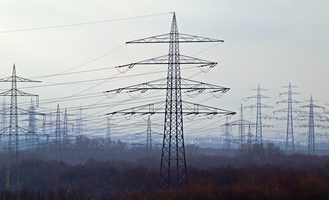
The struggles organizations have when it comes to drone adoption often come down to unrealistic expectations and unrefined data. While drones can create incredible efficiencies, they aren’t guaranteed to do so for every process for a utility company. Drones also have the ability to significantly reduce acquisition costs, but at the same time can generate massive volumes of largely unstructured data. How many images of a single pole does an organization need?We’ve detailed how solutions like Drone Work Advisor from Optelos are designed to provide a unified solution that helps utility companies solve these data challenges in a number of intuitive and time saving ways. These kinds of tools allow utility organizations to effectively manage and analyze drone data to make better business decisions and create realistic expectations of what drones can do, although what all of that actually looks like within an organization can vary a great deal from one company to the next. Defining the Value for Utility OrganizationsUtility companies are leveraging drone data to quickly inspect miles of infrastructure that can be covered with vegetation, using AI to identify issues and other plant conditions, while reducing costs and risks of collecting this data. Previously, utilities relied solely on helicopters or airplanes and had to dispatch field crews to climb and inspect poles. The data being collected must be manually processed, so it can be days or weeks before that information is available. These traditional methods can be time consuming, costly, and pose potential safety risks. Drone surveys can reduce these costs, and even more critically, eliminate those safety risks.“In the case of utilities, and specifically power lines, having to place personnel in close proximity to live high voltage cable is both dangerous and extremely difficult to achieve, depending on the climber’s location and type of asset,” said David Tran, co-founder at Optelos. “Drones can be used to collect this data from a safe distance with higher quality results. Removing this step not only provides a safer working culture, but also enhances the richness of actionable data.”Getting better data while keeping people out of harm’s way represents value that can be calculated and defined. It’s a value proposition that can be seen in terms of both efficiency and safety, as accidents can be as costly as they are tragic, while manually processing data can mean the delay of critical decisions. Data must be properly analyzed to yield insights, which often requires new workflows and automated analytics that have been tailored to the organization’s objectives.“Automation of data analytics has been a tremendous catalyst in unleashing the value from drone data,” Tran told Commercial UAV News. “We are seeing significant interest from companies in all industries ranging from Cell Towers to Windfarms, in any visual spectrum, from Solar (Thermal) to Gas (Hydro Carbon) Detection and any large-scale operation from Powerlines to Pipelines. The ability to save money and eliminate workflow steps through AI automation creates a potential for significant returns.”These automated algorithms can analyze and classify a thousand images in under 5 minutes. They’re tasks that would have required hours to complete and with less accuracy. They also underscore the inefficiencies that exist in this industry, and showcase what kind of value is within reach for utility companies.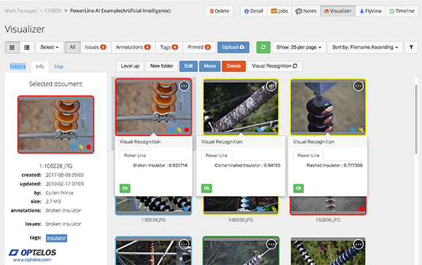
A look at how Optelos sorts and organizes utility data


Comments