In several interviews over the past year, Commercial UAV News has explored the potential of 5G to enhance the capabilities of the drone industry to scale. With ultra-low latency and expanded bandwidth capability, it is believed that 5G enabled regions will be able to ensure near-real-time data transfer and streaming, support urban centers dense with devices, and more.
A lot of what has been said has been positive and exciting, but it has lacked specificity on what this actually translates to for businesses, drone companies, and the public in terms of generating value and ROI. Because 5G is not widely available in many parts of the world yet, how potential benefits may be realized for the drone industry is still being determined. This is why multidimensional 5G testing projects, like Europe’s 5G!Drones Project, that bring together all the players within the drone and telecommunications (telecoms) industries are integral to enriching our understanding of the full capability and business case for 5G networks; thereby, helping everyone understand where the hype ends and the real return begins.

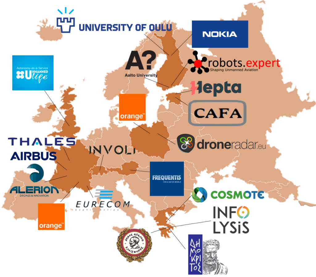
As part of the 5G Public and Private Partnership (5G PPP), the 5G!Drones Project is being funded by the European Union’s Horizon 2020 Research and Innovation Programme, the biggest EU research and innovation program to date with over €80 billion in funding. The project is made up of a large consortium of businesses located throughout the European Union and Switzerland (which is an affiliated country to the Program), and its members operate throughout the drone and telecom ecosystems. The project is working to test, validate, and define key KPIs for implementing 5G to not only test and understand the capabilities of 5G, but to also define the business case for adopting this technology and the best process and standards for implementing it.

Large collaborative projects like this are vital to our industry for a number of reasons. First, by bringing businesses together throughout the ecosystem, projects like this break up silos—products and services are no longer being developed in a vacuum but are informed by how they operate with other elements within the industry. Second, by taking a proactive role to work directly with telecoms, the industry can help define needs, appropriate cost for services (who is going to pay for what and how), and infrastructure, enabling both sides to work toward a win-win scenario. Third, everyone develops a common language and understanding—in order to talk with one another coherently, terms have to be defined and codified. Fourth, meaningful standards, metrics, and expectations based off of a common language are developed. And finally, inefficiencies and bottlenecks within the system are identified—you never know what is going to work or fail until you run it from start to finish.
With the assistance of Gokul Srinivasan, Director of Technology at Robots.Expert, and in charge of the dissemination activities within the project, we were able to set up a series of in-depth interviews to learn more about this ambitious initiative. Each interview will outline the multiple perspectives and expertise of those participating in the project in the hopes of generating a broad outline of what a 5G-enabled drone enterprise can potentially look like from every angle, from technology and services to security, privacy, and cost.
For our first interview, Gokul and I sat down with Pawel Korzec, CEO of Droneradar and Cristina Mihalachioiu, Co-Founder of INVOLI. Cristina and Pawel provided insight into the philosophy, key learnings, and trajectory of the 5G!Drones Project, and more.
Danielle Gagne: How did the 5G!Drones Project come about and what are its main objectives? Or to put it another way, what challenges or gaps in the commercial drone industry is this project trying to solve?
Pawel Korzec: This project is currently about what we are missing in current networks—supporting a large number of devices with guaranteed SLA for 3D coverage with expected and predictable latency all together with very high bandwidth in the air. 5G is all about what we, as users, can benefit from the telecommunications network. This was something that we were missing with the rollout of the 3G, 4G, and LTE networks, we didn’t have this opportunity with the previous technologies to put drones into the network ecosystem in an appropriate way like we can do with 5G.
In general, each and every drone flight should always be preceded by preparation. During the flight preparation phase, we need to prove to the appropriate authorities that our flight is going to be safe. Sounds trivial, but no matter what flight we make, VLOS or BVLOS, this task must be done. It is known that for long BVLOS flights this process will be longer. During the preparation phase, we need to find a common understanding of the airspace. Up to now, most people weren’t thinking about network coverage in the airspace. The 5G project is about how we can see that 5G coverage within the airspace—to map the airspace, to show the quality of service we have in certain areas. 5G needs to be able to operate in that three-dimensional space where drones operate. From there you can determine coverage along the routes you need to fly, whether you will need to pay for additional services to get the network coverage required, the cost of that coverage, and then all of this information can be given to airspace authorities to verify and approve the route, ensuring that the quality of the service within the planned route and contingency surroundings will remain solid throughout the entire flight.
From the telecommunications’ perspective, this is much more than this, because this will allow a completely different approach to the provisioning of network services. Those will be much more flexible and transparent thanks to NFV (Network Function Virtualization) and Network Slicing.
Gokul Srinivasan: Just to add on what Pawel stated, I think one of the things that is core to what we will be testing, validating, and trying to implement in a large, scalable way, is how we can exploit the capabilities of this 5G technology to run things like computations and AI analysis on edge devices, instead of doing all the processes on a cloud or at the ground system. There are a lot of hypotheses that show advantage in doing computations over edge devices, which we look forward to validating and coming up with certain metrics and KPIs through several use cases and trials.
Cristina Mihalachioiu: I’d also like to add that these high-quality services will hopefully enable higher levels of safety for drone flights. This is another one of the things that I think is at stake for the drone world in terms of 5G development and how we are going to use 5G.
What is the importance of projects like these for the industry as a whole?
Pawel: We have developed a number of real-life use case scenarios to test out—it is very interdisciplinary. One of the major use cases we will be testing is the ability to ensure priority authorization for emergency response services like fire brigades and police officers. We will also be testing the use of tethered drones equipped with 5G base stations flying over heavily populated areas (such as stadiums) that need additional service.
We are testing various scenarios from the provisioning of service and flight planning to flight performance.
Gokul: And to provide some background, there was another massive project before this called Gulf of Finland, which was a huge SESAR JU U-Space project that involved 19 members. One of the most important things that came out of that project, besides the fact that an air taxi managed to fly in a live airport situation for the first time ever, was an architecture for U-Space.
In this project, we adopted that architecture. For me, one of the most important things is the way different services are being integrated with each other. The unified architecture that we are implementing with this project will, hopefully, act as a foundation for the future of the industry. This means we won’t have to do the hard groundwork again, because we are already doing a ton of work in terms of talking about how the slicing mechanism is going to work with the U-Space adapter, how the trial validator is going to work, whose going to do what and so on, all of these different aspects are being covered here, which I believe is extremely important for the industry.
What is INVOLI’s and Drone Radar’s roles in this project, what are the perspectives and experience each of you bring to the project, what products/ideas/concepts will you be developing, and how does your role relate to the objectives laid out by the project?
Pawel: Droneradar is working together with Frequentis, providing the UTM (also known as CIS and FIMS) platform to be connected with the 5G network. We contribute by helping with regulation and risk assessment and providing flight planning tools. When we perform the flights, we will visualize the traffic connected via the 5G network for traffic controllers and most importantly, we will prove that 5G technology can really increase overall aviation safety.
The time lapse illustrates the PansaUTM Air Traffic Service workplace. Please note that airspaces are changing their activities during the day according to FUA (Flexible Use of Airspace) and NOTAMs. Inquisitive persons will notice the report of a lost drone. The colors correspond to the statuses of two-way, non-verbal communication.
Cristina: INVOLI is a supplemental data provider, i.e., we offer low altitude air traffic data, otherwise unavailable. We have developed in-house receivers, which detect aircraft identification signals, thus gathering information like aircraft position, direction, speed etc. The receivers are installed as a network to cover a designated territory to obtain a comprehensive view of the air traffic in the respective area. The information obtained is processed into a stream interfaced on the INVOLI.live platform and made accessible to drone operators, so that there are no blind spots for them while in flight. The point is that the drone knows when aircraft are incoming in order to prevent a potential collision by making adequate decisions in time and so on. All of this enhances the safety of flights and opens the path to BVLOS flights and many more drone applications. Thus, INVOLI brings to this project, on the one side, the hardware devices and the air traffic data stream to ensure the safety of the drone flights/trials, and on the other side, the software expertise to help build the architecture.
In addition, INVOLI also provides its drone tracking solutions and expertise, as we have recently launched our first drone tracker, KIVU. The tracker takes its name from the homonym region in Rwanda, where it was successfully used for the first time during the Lake Kivu Challenge, this February. Practically, each participating drone was equipped with a KIVU tracker, enabling the pilots to stay safe and follow their drone flight from afar. KIVU is an important milestone, because it was developed to be compatible with Remote ID regulations – another hot topic for the industry these days.
The project is already 12 months in its 36-month process, can you talk about some of the things you have discovered, learned or developed in that time?
Pawel: I think the great achievement that we have achieved in the first 12 months of the project is that we found a common language with the telecommunication companies.
Gokul: I agree with Pawel. Finding a common ground and a mutual way of talking to each other is one of the hardest things in a project. That’s one of the things that fascinates me about this project. Everybody is coming in with amazing services and technologies, but when you try to put them together, there is a lot of dynamics and chemistry that’s involved.
For example, the terminologies used by the UTM providers, the drone operators, and the telecoms, in just the word ‘autonomous operations’ was a huge pitfall, and it took us quite a lot of time—and so many meetings, and so many iterations of the document—to actually understand what each person meant by autonomy. These terms are so fluid that it means different things for different people, even within the same company. For example, if you talk to the CEO, autonomous means one thing and then, when you talk to the technical guy, it means something totally different. So, one of things we achieved is that we found a common wavelength. It is critical to have that level of understanding between the parties.
What are some of the challenges you are still working through?
Pawel: We are starting the demo phase of the project. We want to be connected and physically prove that what we discovered is correct and it will work. And if we do this successfully, we’ll be able to give our recommendations to the aviation and telecommunication industries. This technology is still very new and revolutionary, and the 5G project is mainly about the preparation of the environment to perform safe flight. This is going to consume a lot of hours on tests, deployments, and developments and so on. We want to perform the demos, which will result in the real recommendation to the authorities, to the regulators, and the industries. So, this is really very exciting.
With the GDPR, another aspect that we have to keep in mind is cybersecurity, which is also very important for this project.
For each of you, what is the main reason you wanted to get involved in this project, what is one thing you are most excited about developing, and have you learned anything as a result of being a part of this project?
Cristina: For us, the main reason to get involved was the innovating level of technical advancements that this project was investigating. The project brings together two worlds, those of drones and teclos, which nobody would have thought had anything in common five years ago. In Switzerland, we have been working with the national telco provider and it has been a learning process from day one. They were interested from the beginning in what we were doing and how we were opening the path for safer drone flights. This brings me to the technical goal of our involvement in this project, which for us is that of proving the validity of 5G technology and the safety case for the drone world.
Pawel: My personal goal is to simply be able to map the 5G features into the UTM system. I am looking for methods to connect the telecommunication world with the aviation world in an understandable way. To provide an example, I would like to see the coverage of the sky, that is location and radio coverage, with service-level agreements. And I would like to present that to the end user, the company that owns the drones, and to the authority who will approve or disapprove the flight. I want to be able to use this data for specific operational risk assessment. That is my personal goal with the 5G project. Another goal is to find synergies between aviation broadcast transponder technologies and telecommunication networks characterized mainly by P2P approach. In other words, I would like to address the topic of V2X in the 5G network.
Gokul: From the Gulf of Finland project one thing that came out really clear is that the localization of the aircraft is something that is extremely important. The accuracy of the GPS report varies from 5 to 15 meters, give or take. When you have an aircraft flying at 20 meters per second (an average flight speed), this is a huge deal. I am really looking forward to 5G closing this gap and then solving these kinds of nuances. When you consider all of these things and how 5G can close the gap, I think it’s a huge leap for the unmanned aviation industry.


Comments