Advanced Navigation was founded on the major breakthrough of applying Artificial Neural Networks (ANNs) to inertial navigation. Today, the company is using AI to shape the next generation of INS solutions used in land and marine surveying.
Advanced Navigation is a global provider of navigation and autonomous system technologies. Made possible with extensive research, testing and vertically integrated manufacturing, the company has progressed into several deep technology fields. This includes robotics, underwater acoustics, GPS antenna and receivers, inertial, photonic and quantum sensors.
How AI helps to improve inertial navigation
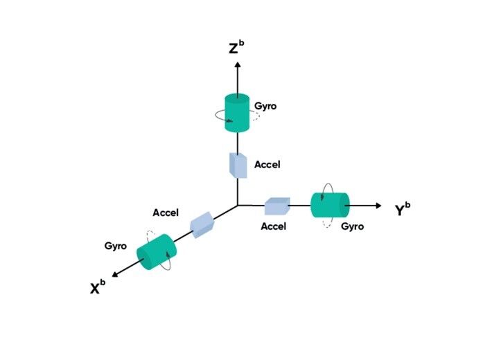
Artificial Intelligence (AI) is an umbrella term for the software and technologies that attempt to simulate the logical processes of a biological brain in being able to interpret data and make decisions about that data. A main subset of AI is machine learning, which is a system’s ability to learn from enormous sets of data, recognize patterns, and make decisions with minimal human intervention.
In the context of inertial navigation, machine learning can help overcome traditional limitations and enhance a system’s performance, such as improving estimates of navigational outputs including position and velocity, predicting inaccuracies, and classifying motion to identify the system's specific application.

Shaping the next generation of INS solutions with AI
Advanced Navigation was founded on the major breakthrough of applying Artificial Neural Networks (ANNs) to inertial navigation. Equipped with self-learning capabilities, this algorithmic technology introduces faster sensor error tracking and superior integrity monitoring by recognizing patterns in large amounts of data, compared to traditional methods. This enables the system or vehicle to produce reliable data with higher accuracy, and better tracking of errors than current industry players. There is also a leap in performance in difficult conditions where erroneous data was fed into the system, which was especially noticeable in high multipath GNSS environments such as urban canyons or complex terrain.
To spearhead this technology, Advanced Navigation corroborated the development with many years of lab and field research and rigorous testing. The process, consisting of training the Neural Network with large amounts of data, was propelled by the simple yet paramount goal to ensure the model exhibited evident advantages over traditional filters. All of this foundational work would later enable the company to develop INS offerings on high-end microprocessors operating at a relatively lower level of power, significantly reducing the size, weight, power consumption and cost (SWaP-C) of units, and shaping the next generation of INS solutions.
Benefits for surveying projects
Advanced Navigation’s software-enabled hardware is a testament that performance, size, cost and weight do not need to conflict with one another. For users deploying land-based vehicles, this technological breakthrough lowers their entry barrier to reliable, high-accuracy navigation. It also unlocks new possibilities for those using lightweight airborne platforms, such as drones, where every gram counts towards flight efficiency and power consumption.
Most recently, Advanced Navigation announced the expansion of its versatile Certus dual antenna GNSS/INS range, with the new Mini series. Available in three variants, the Certus Mini series includes a GNSS-aided Certus Mini D and Certus Mini N inertial navigation system (INS), while Certus Mini A functions as an attitude and heading reference system (AHRS). Weighing no more than 55 grams, the series packs an impressive punch in performance and cost-efficiency, defying expectations for its weight and size.
This opens up diverse applications that rely on low-cost drones to achieve faster and easily repeatable operations and surveys. For example, in agriculture, the series can enable farming drones suited for large-scale projects, such as crop monitoring, soil analysis, aerial mapping and targeted spraying. It will also enhance the safety of beyond visual line of sight (BVLOS), enabling drones to function in environments where GPS signals are weak or obstructed, such as dense tree cover or interference from other agriculture equipment.

Taking underwater acoustic positioning to new levels
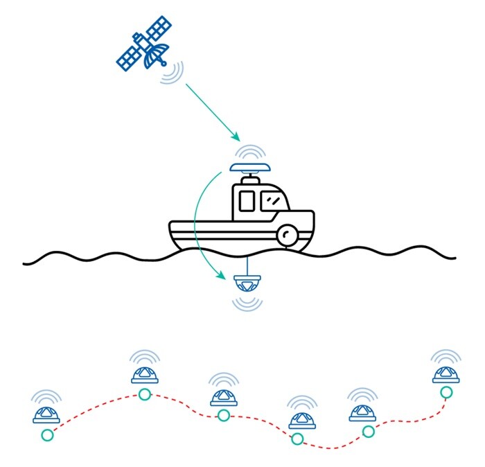
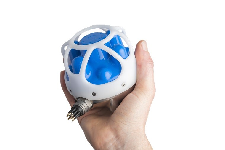
Advanced Navigation’s Subsonus is a next-generation USBL/INS that provides high accuracy position, velocity and heading at depths of up to 1,000 meters. Subsonus is the smallest USBL system in the market to include an INS. Thanks to Advanced Navigation’s breakthrough algorithmic technology, the INS contains high-end microprocessors operating at a relatively lower level of power. This software-enabled hardware significantly reduces the unit’s size, weight, power consumption and cost (SWaP-C), while offering performance capabilities well beyond high-end systems.
The company’s next-generation USBL Subsonus features a unique USBL configuration option called “USBL-squared” (USBL2). The primary difference to other USBL configurations is having a transducer on both surface vessel and tracked object. The Subsonus transducer contains a high specification inertial navigation system (INS) alongside its hydrophone array and acoustic sounder. These elements are pre-calibrated during manufacturing, reducing in-field calibration time for operators.


.jpg.small.400x400.jpg)


Comments