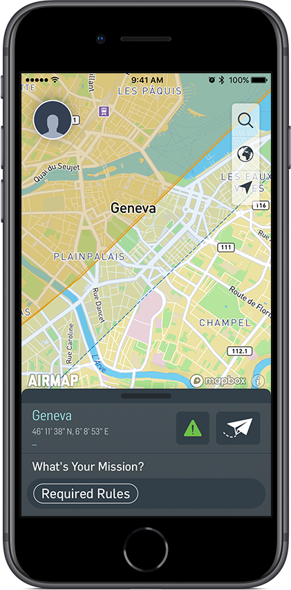
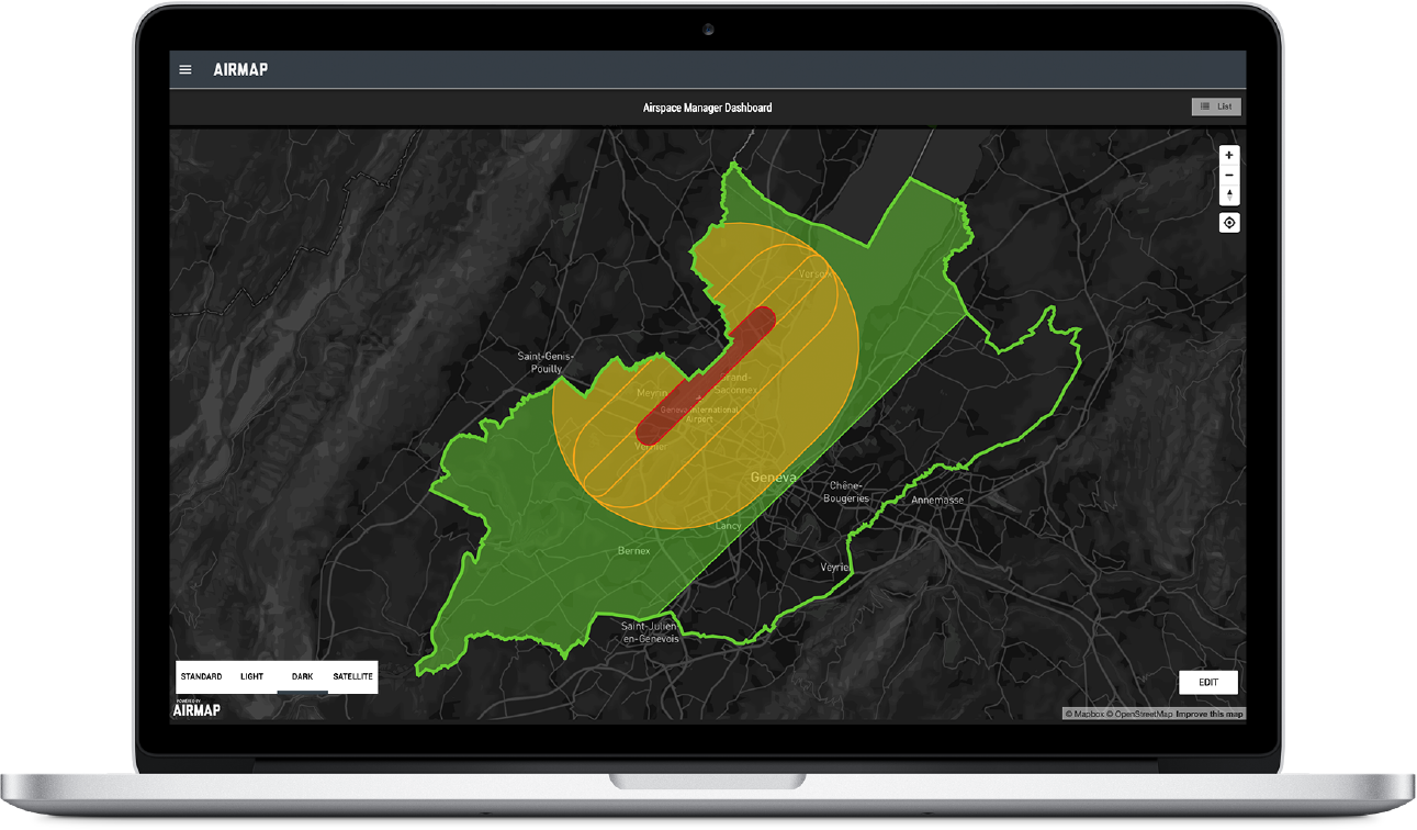
On March 5, Skyguide, the Swiss air navigation service provider, and AirMap, a leading airspace management platform for drones, announced an agreement to develop and deploy the first national drone traffic management system in Europe.
The proposed system aims to be the first national deployment of U-space, Europe’s vision for the digital infrastructure that will support safe and secure access to European skies for millions of drones. Following the lead from NASA with its UTM initiative, U-space is a collaborative effort to enhance situational awareness, data exchange between platforms, and constant digital communication for the European drone ecosystem. The partnership follows the success of Skyguide’s 2017 Swiss U-space trial, the first live demonstration of sophisticated U-space services in Europe. Together, Skyguide, AirMap, and SITAONAIR exhibited fully operational U-space capabilities – including registration and identification, geofencing, and flight authorization – during live drone missions performed by senseFly and PX4 in Geneva.Some details were unveiled in the announcement about the next steps including a pilot phase starting in June 2018, the integration of AirMap UTM platform with Skyguide’s infrastructure and the introduction of automated flight authorization in a single airspace environment. Skyguide and AirMap will also develop a roadmap for Swiss U-space that will set the stage for the deployment of a fully operational drone traffic management system by 2019.Swiss U-space will ensure that all categories of UAVs and all types of missions can safely take flight in Switzerland’s airspace. Swiss U-space will include features such as:
- Blockchain-based registration for users and drones
- Dynamic geofencing and instant digital airspace authorization
- Real-time traffic alerts for drone pilots and live drone telemetry for airspace managers
- Connectivity and communication between drone pilots and airspace administrators
- Other services to enable simultaneous flights in shared airspace


Comments