This week’s “Around the Commercial Drone Industry” news round-up looks at a lidar- and drone-based environmental study, the use of drones to fight crime in New York’s Central Park, and UAV-enabled airport monitoring in Canada.
Police Drones Coming to NYC’s Central Park
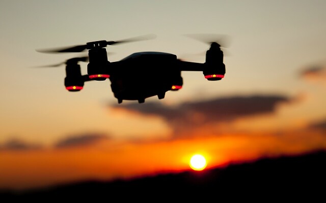
According to a report by UAS Vision, the New York City Police Department will integrate drones into its efforts to curb a “surge in robberies and assaults in Central Park.” Although violent crime in New York has gone down in recent months, robberies and assaults have been on the rise in Central Park. In response, the department will add uncrewed systems to its current efforts involving “hundreds of officers patrolling on foot, bike and horseback,” the report said. At a recent press conference, NYPD deputy commissioner for public information, stated “We’ve got the autonomous drones coming by the end of the month. There are over 800 acres in this park. It’s going to allow us to cover a big territory very quickly and also allow us to get images and video in places where we don’t have cameras.”
Airport Runway Inspections with UAVs
Northeastern University reports that a team of the school’s researchers have developed “a more thorough, safer and faster way” to inspect airport runways in Northern Canada. The system calls on “drones, computer vision and artificial intelligence” to assess defects at runways in remote areas. Research findings, which were published in the MDPI journal Drones, describe “a new procedure for inspecting airport runways using high-resolution photos taken from remote-controlled, commercially available drones and high powered computing.” The system, investigators assert, “saves time, reduces the need for inspectors on site, and makes inspecting a remote gravel runway a much less onerous task.”
Environmental Study with Drones and Lidar
Flying an IF1200A drone, Inspired Flight deployed YellowScan's Mapper and Mapper+ LiDAR systems to perform an environmental monitoring study to count number of shrubs present at a specific site. As reported in Unmanned Systems Technology, researchers surveyed a surface area of 80,000 square meters by operating Mapper+ “at a speed of 5 meters per second and at a flight altitude ranging between 60 and 70 meters.” According to the report, the mission “provided significant insights, with the data collected during its 16-minute flight offering a detailed understanding of shrub distribution across the surveyed area. The Mapper, with its 19-minute flight, also captured extensive information about the shrub population within the same region.”


Comments