

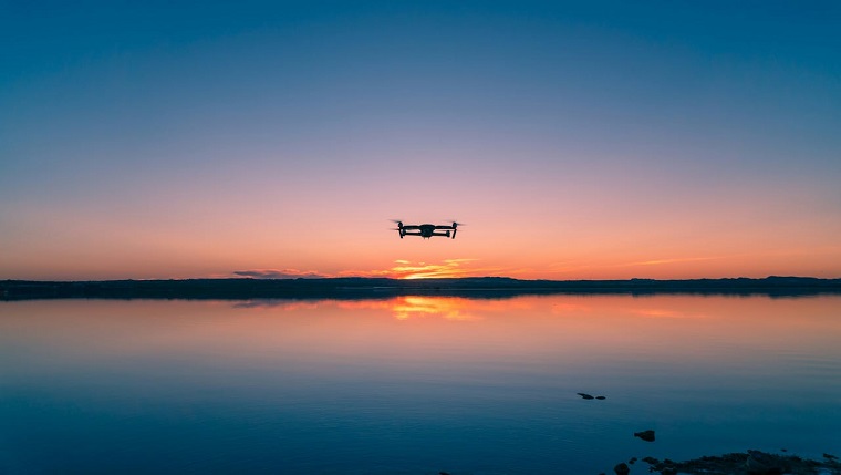
This week’s “Around the Commercial Drone Industry” news round-up looks at FAA fines for drone rule violations, maritime biological research using drones, and how investigators used drones and lidar to map lava caves in Iceland.
FAA Hands Down Fines for Drone Rule Violations
UAS Vision reported that between October 2022 and June 2024 FAA “proposed $341,413 in civil penalties against 27 people who violated federal drone regulations.” The violations include “$18,200 against a person who operated an unregistered drone during the weekend of the Miami Grand Prix, a Formula 1 event,” “$7,760 against a person who operated an unregistered drone using first person view inside Paul Brown Stadium in Cincinnati,” and “$5,000 against a person who created a collision hazard while flying a drone close to a helicopter in Little Rock.” According to the UAS Vision article, “Drone operators who conduct unsafe or unauthorized operations face fines up to $75,000 per violation, an increase included in the FAA Reauthorization Act of 2024. The FAA also can suspend or revoke drone operators’ pilot certificates.”
UAVs Capture Biological Samples from Ailing Whales and Dolphins
Researchers have long struggled to understand the health ailments of dolphins, whales, and other sea creatures in the wild. A new drone-based system could solve the problem. According to a Dronelife story, researchers from Oklahoma State University have developed a system called “Snotbot,” that “works by flying a quadcopter through the spray shot out of the blow hole on the whale’s back to collect biological samples.” Based on successful tests, the investigators hope “to secure approval from the National Oceanic and Atmospheric Administration for use of the technology on the open sea” in the near future.
Drones Map Lava Caves in Iceland
In other research news, CBC reports that a team of investigators from McMaster University has developed a drone-mounted system that has proven effective in mapping lava tubes in Iceland. According to the story, “the McMaster Deep-space Analogue Research Expedition (DARE) team spent a year planning an expedition to unnamed lava tubes near the popular Surtshellir lava cave to test their technology.” For the project, the team flew a drone they named “Canary,” consisting “of a store-bought quadcopter drone and plastic chassis on which electrical components attach.” The team used lidar to measure distances and map spaces in the caves.


Comments