

For our latest “Around the Commercial Drone Industry” news round-up, we look at drones in the logging industry, a UAV-based wildlife monitoring project, and research into the use of uncrewed systems in search and rescue missions.
Swedish Telecom Enhances Logging Projects With Drones
Data Centre Dynamics reports on how the Swedish telecommunications firm Telia has been investigating “how drone technology and 5G technology could enable rural areas around Sweden to work with remote-controlled vehicles.” For the effort, Telia has outfitted a drone “with its own portable mobile base station, enabling forestry machinery to be remotely controlled via 5G in an area with limited connectivity.” Tests conducted last month were successful, proving that Telia could use uncrewed systems to increase its 5G network for logging work
Can UAVs and AI Help Find Missing Persons?
At the University of Colorado-Boulder, researchers are looking into ways of combining uncrewed technology with artificial intelligence to improve search and rescue operations. As CBS News explains, the school’s Aerospace Engineering Department is working with the Boulder Emergency Squad on a project that will “allow search and rescue teams to feed information to the drones to help teams scout locations to find anyone who's missing.” This, they say, “will give them a better perspective of the area and help them more easily multi-task during rescue operations.” Researchers and public safety officials believe this approach “reduce the amount of people they need while helping volunteers and first responders find people much faster.”
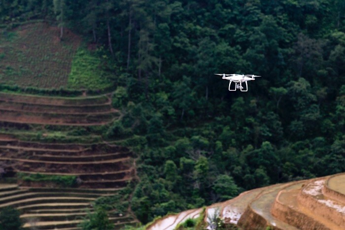
Drones Map Lizard Populations
Writing in The Conversation, Emma Higgins, a Lecturer in Ecology at the University of South Wales, explains how she and her colleagues are using UAVs to gather information on the Bay Islands anole, an endangered lizard “found on the island of Utila, north of mainland Honduras in Central America.” Specifically, the researchers want “map a vital ecological indicator – the temperature at which lizards thrive.” Conventional approaches to gathering this information are time-consuming and costly, but Higgins says using drones has “transformed data collection.” Now, she and her fellow researchers use drones to “to hover a few metres over each plot, capturing high-resolution images.” This new method, she asserts, “allows us to map ecologically significant thermal data across vast landscapes, at resolutions relevant to individual animals and populations. This level of detail far surpasses the limitations of traditional ground-based methods.”


Comments